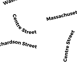
12-20 RICHARDSON ST 16
Owner Information
KAUFMAN BRUCE G
16 RICHARDSON ST 16
NEWTON, MA 02458


Property Details
12-20 RICHARDSON ST 16 is classified as a Residential Condominium (End townhouse).
The primary structure on this property was built in 2000. There are 2,898ft2 of built area within this property. There is 1,932ft2 of residential/living space within this property. This property is listed as having 6 rooms.
12-20 RICHARDSON ST 16 is valued at $742,600. The land is valued at $0 and the structures are valued at $742,600.
This property is in Zone MR2. Confirm with local Zoning Board authorities to ensure there are no overlays or other easements on this property.
The most recent deed for 12-20 RICHARDSON ST 16 is recorded at the local registrar in Book 72804, Page 574. 12-20 RICHARDSON ST 16 was last sold on Friday, June 21, 2019 for $820,000.
Assessment data from fiscal year 2022.
Flood Data
According to the FEMA National Flood Hazard Layer, this property does not appear to be in a flood zone. It may also be in an area not yet reviewed. Nonetheless, confirm this information prior to taking any action.
To view the flood hazards around this property, create a FEMA "Firmette" Map of the area around 12-20 RICHARDSON ST 16.
Broadband Internet Providers
| Provider | Type | Bandwidth (mbps) | |
|---|---|---|---|
| VSAT Systems, LLC. | Satellite | 2 | 1 |
| T-Mobile | Fixed Wireless | 25 | 3 |
| RCN | Cable | 1000 | 20 |
| HughesNet | Satellite | 25 | 3 |
| RCN | Cable | 500 | 20 |
| Comcast | Cable | 1000 | 35 |
| Verizon New England Inc. | Fiber | 940 | 880 |
| Verizon New England Inc. | DSL | 5 | 0 |
| Viasat Inc | Satellite | 100 | 3 |
| GCI Communication Corp. | Satellite | 0 | 0 |
Broadband service provider data from December 2020.
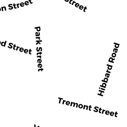
Adjacent Properties
- 187 CHURCH ST
Church, Mosque, Synagogue, Temple, etc... owned by ARABIC BAPTIST CHURCH - 12-20 RICHARDSON ST 12
Residential Condominium owned by HAI MINGTAN - 12-20 RICHARDSON ST 14
Residential Condominium owned by ROHRS CHARLES E - 24 RICHARDSON ST
Single Family Residential owned by SI RICHARDSON ST RLTY LLC - 26-28 RICHARDSON ST
APT 4 - 8 UNT MDL-94 owned by SI RICHARDSON ST RLTY LLC - 195 CHURCH ST
Two-Family Residential owned by WILLIAMS JANE COLEMAN - 199 CHURCH ST
Three-Family Residential owned by 199 CHURCH STREET LLC